
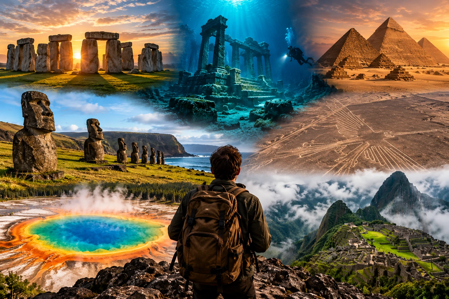
Earth contains extraordinary landscapes that have inspired explorers, researchers, and curious travelers for generations. Some places are famous for unusual geological formations, while others contain ancient structures, distinctive ecosystems, or natural phenomena that scientists continue to investigate.
These locations are sometimes described as mysterious because their origins, history, or environmental conditions raise interesting questions. However, mystery does not necessarily mean that something is supernatural or impossible to explain. Scientific research often reveals that remarkable places have natural causes, even when important details remain uncertain.
1. The Bermuda Triangle
The Bermuda Triangle is a loosely defined area of the western North Atlantic Ocean, commonly associated with Bermuda, Florida, and Puerto Rico.
It became famous through stories about ships and aircraft that disappeared in the region. Some popular accounts describe unexplained forces, unusual magnetic activity, or mysterious underwater phenomena.
However, the region is heavily traveled, and disappearances can often be investigated through ordinary explanations, including severe weather, navigational errors, mechanical failures, and human mistakes.
The Bermuda Triangle is not officially recognized as a uniquely dangerous geographical region by major scientific authorities. Its boundaries also vary between accounts.
Its reputation demonstrates how dramatic stories can become more mysterious when details are incomplete or repeated without verification.
2. The Nazca Lines in Peru
The Nazca Lines are enormous geoglyphs created in the desert of southern Peru. They include straight lines, geometric shapes, and figures resembling animals, plants, and other forms.
Many of the designs were created by removing dark surface stones to expose lighter ground underneath. Their large size makes many figures easier to recognize from elevated viewpoints.
Researchers generally associate the geoglyphs with ancient Indigenous cultures of the region, particularly the Nazca culture, although the purposes of individual designs remain subjects of investigation.
Ideas about their possible functions include ceremonial practices, landscape symbolism, and relationships with water or ritual routes.
The exact meaning of every figure is not known, but archaeological research continues to improve understanding of the people who created them.
3. The Door to Hell in Turkmenistan
The Darvaza gas crater in Turkmenistan is often called the Door to Hell because flames have burned inside the large desert crater for decades.
The site is associated with a natural gas field, and its burning gas creates a dramatic scene, especially after dark.
Popular accounts often describe the crater as the result of a Soviet-era drilling accident in the 1970s, but details surrounding its origin and the precise timeline are not firmly established in all historical accounts.
The visible flames are explained by the combustion of natural gas escaping from underground deposits.
The site attracts attention because it combines an unusual landscape with a long-lasting fire. It also raises environmental questions about methane emissions, energy resources, and the management of leaking gas.
4. The Movile Cave in Romania
Movile Cave in Romania is famous for its unusual underground ecosystem. The cave was discovered in 1986 and is isolated from the surface environment in ways that limit the entry of ordinary sunlight-driven food sources.
Researchers have identified organisms living in its underground environment, where microbial processes involving chemical compounds help support the food web.
Rather than relying primarily on plants using sunlight for photosynthesis, parts of the ecosystem depend on microorganisms that obtain energy through chemical reactions.
Scientists study such environments to understand how life adapts to unusual conditions and how ecosystems function with limited connections to the outside world.
The cave’s distinctive biology makes it important for research into microbial communities, environmental adaptation, and the possible limits of life in extreme environments.
Access is restricted because the ecosystem is delicate, and human activity could disturb the conditions that make it scientifically valuable.
5. Lake Hillier in Australia
Lake Hillier, located on Middle Island off the coast of Western Australia, is known for its striking pink appearance.
The lake’s unusual color has attracted attention because it contrasts sharply with the surrounding vegetation and nearby ocean.
Pink coloration in saline lakes can be associated with microorganisms, including certain algae and salt-loving microbes, as well as pigments they produce. The precise contribution of different biological and chemical factors can vary between lakes.
Although Lake Hillier’s color is widely discussed, its exact color-producing mechanisms are not as completely established in popular explanations as they are sometimes presented.
The lake illustrates how microorganisms can influence the appearance of natural environments in unexpected ways.
It also demonstrates that a landscape that appears almost artificial may result from the interaction of water chemistry, salinity, and biological activity.
6. The Magnetic Hill in Ladakh, India
Magnetic Hill near Leh in Ladakh has become famous for an optical illusion that makes a stationary vehicle appear to roll uphill.
Visitors sometimes interpret the experience as evidence of unusual magnetic forces. However, the effect is generally explained by the surrounding landscape and the way people perceive the horizon.
When the true horizon is obscured, a road that slopes gently downhill can appear to rise. The brain relies on visual cues to judge orientation, and unusual terrain can distort those cues.
Similar gravity hill illusions have been reported in other parts of the world.
The experience is a useful example of how perception can differ from physical reality. The apparent uphill movement does not require a mysterious force; the surrounding visual environment can create the illusion.
7. The Great Blue Hole in Belize
The Great Blue Hole is a large marine sinkhole located within the Lighthouse Reef system off the coast of Belize.
Its nearly circular shape and deep blue center make it striking when viewed from above. The feature formed through geological processes when sea levels were lower and parts of the area were exposed above water.
Over time, changes in sea level flooded the formation, creating the underwater sinkhole seen today.
Scientists have studied the structure’s geology, ancient climate records, and marine environment. Sediments from the region can provide clues about past environmental changes, although interpreting these records requires careful analysis.
The Great Blue Hole is not unexplained in origin, but its size, geological history, and underwater environment continue to interest researchers and divers.